
Driving Routes & Navigating Costa Rica
Getting around Guanacaste. Most visitors fly into Liberia (LIR) and drive from there, the main routes are straightforward, paved and well-signed. Below are the drives our visitors ask about most, with realistic times and what to expect on the road. When in doubt, ask us before you set out.
From Liberia Airport (LIR)
Daniel Oduber International Airport in Liberia is the gateway to Guanacaste, roughly 45–60 minutes from Tamarindo, Flamingo, and Potrero depending on traffic. Rental cars are available at the terminal; we recommend reserving ahead in high season.
Key Routes
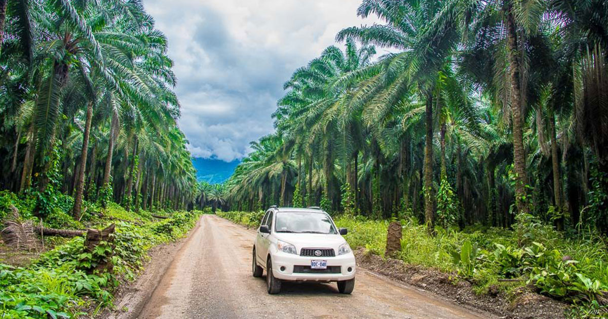
The main coastal highway connects the beach communities from north to south. Roads to the most popular towns are paved, but some beach access roads and shortcuts are gravel, a 4×4 is worth it in the rainy season. (Detailed route-by-route directions coming soon.)
Liberia (LIR) → Tamarindo
Route details go here: distance, drive time, key turns and landmarks, road conditions, tips. (Content coming from the CRV team.)
Liberia (LIR) → Flamingo
Route details go here: distance, drive time, key turns and landmarks, road conditions, tips. (Content coming from the CRV team.)
The Buyer’s Guide to Costa Rica Real Estate
Get your FREE Buyer’s Guide to Costa Rica
Everything you need to know – before you vacation, move or buy in Costa Rica
Navigation Tips
Waze works better than most alternatives in Costa Rica, addresses here are famously landmark-based (“200 meters past the big tree”). Download offline maps before you head out, and keep small bills for the occasional toll or parking attendant.
The Buyer’s Guide to Costa Rica Real Estate
Get your FREE Buyer’s Guide to Costa Rica
Everything you need to know – before you vacation, move or buy in Costa Rica